
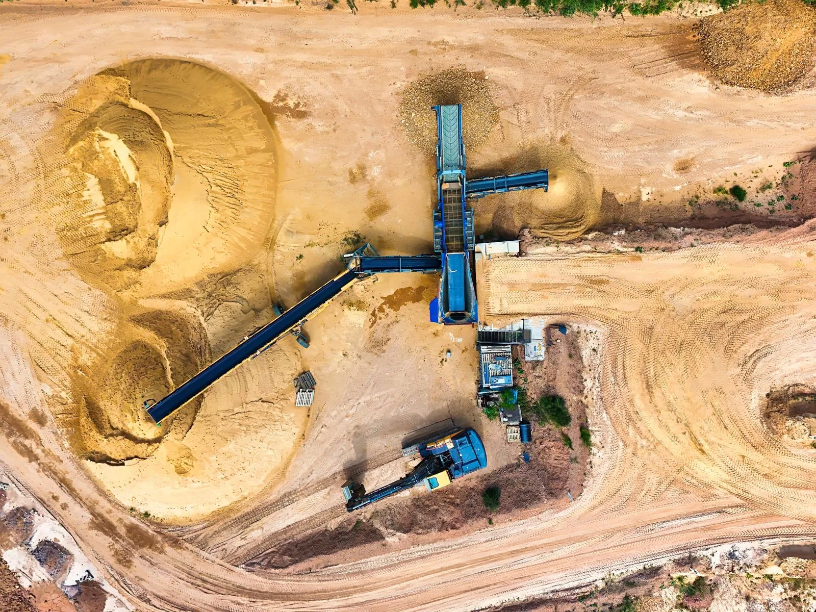
Aerial footage can show more than how a construction site looks from above. The right views can help teams understand site layout, inspect specific work areas, and compare progress over time. Each type of shot serves a different purpose, so planning them around project needs makes the footage easier to use. Before a flight, decide who will review the images and what questions they need answered. Then choose a mix of views that gives them a clear, consistent record.
Use Wide Views for Context
Wide site overviews show the relationships between major areas: buildings, access roads, material storage, equipment zones, and surrounding properties. They work well for orientation, stakeholder updates, and documenting how the overall site is organized. A high, angled view can include both the project and its surroundings, while a more vertical view can make the site layout easier to assess.
Plan wide shots from positions that keep key areas visible without excessive distortion or obstruction. Consider site boundaries, neighboring structures, and changing light. If the footage will support coordination, capture enough surrounding context for viewers to understand where work is happening, but avoid framing so broadly that important activity becomes difficult to see.
Choose Details for Specific Questions
Detail shots bring attention to a particular area, such as roof work, a foundation, a staging zone, or a connection between structures. They can help reviewers see conditions that a wide overview would miss. Use them when a project update needs to show a defined work area or when teams need visual documentation of a specific milestone.
A drone view is not a substitute for a close inspection on foot. Small defects, measurements, and hidden conditions may not be visible from the air. Identify the feature you need to document, choose a safe flight position, and capture enough surrounding area to locate it later. Pair aerial footage with ground photos or inspection records when finer detail matters.
Repeat Viewpoints to Track Progress
Repeat viewpoints make change easier to recognize. Photographing the same area from a similar height, angle, and direction across multiple visits can show how work has advanced, where materials have moved, or how site access has changed. This consistency is more useful for comparison than a collection of attractive but unrelated angles.
Create a simple shot list with a reference point for each recurring view. Record the flight position, camera direction, approximate altitude, and the area being covered. Keep framing as consistent as practical, while noting differences in weather, lighting, or site conditions. Label files by date and location so project teams can compare them without guessing.
Build a Useful Shot Plan
Start with the purpose of the footage, then select the view that answers each question. A typical plan may include one or two wide overviews, targeted details for current work areas, and repeat viewpoints for locations that need ongoing comparison. Share the plan with the project team so the operator knows which areas matter and what the images need to document.
Check access, active equipment, people on site, and any applicable flight restrictions before scheduling. Agree on a safe operating area and a clear delivery format, such as dated images organized by location. Galway Site Aerials can help construction teams plan aerial coverage around these practical needs, but the project team should identify priorities before the flight.
Wide overviews explain the site, detail shots focus attention, and repeat viewpoints reveal change. Choose each view for a clear purpose, keep recurring shots consistent, and organize the results so teams can use them quickly. Start by listing the project questions your footage should answer, then plan the views that will provide the clearest evidence.